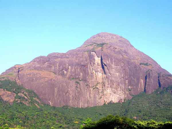
Agasthyamala
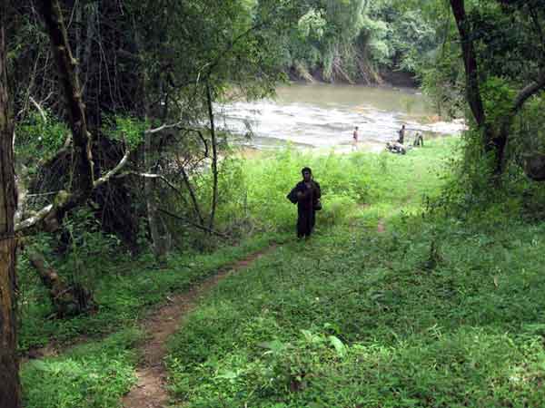
Agasthyamala is situated at the southern most end of Western Ghats and forms a part of the Neyyar wildlife sanctuary in Thiruvananthapuram district of Kerala. IUCN have identified Agasthyamala and its environs as one among the three important mega centres of diversity within India which needs immediate conservation. In 2001, the Government of India has declared Agasthyamala as a Biosphere Reserve. This is a region with a very high floral endemism and tremendously rich biodiversity, locked up in an area exhibiting an overall representation of the biota of the southern Western Ghats. The site represents the richest centre of endemic plants, abode of all vegetation types met within the peninsula, richest repository of medicinal plants, the southern-most haven of endangered animals including primates, amphibians, reptiles, insects and fishes and a treasure house of wild relatives of domesticated crops.
Location:
Latitude: 8' 51 - 9' 0 N
Longitude: 77' 0 - 77' 05 E View on google Earth
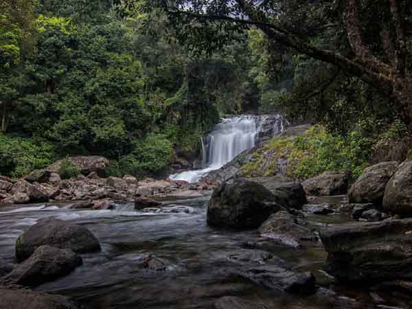
Thenmala
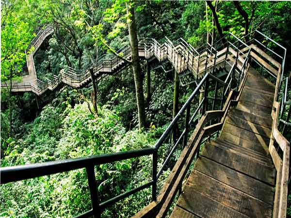
Thenmala is a small village at the foothills of Western Ghats and predominantly a forest area with a lot of human intervention at its periphery. This place is located about 72 Km from Thiruvananthapuram. Peppara dam of Kallada Irrigation Project (KIP), the biggest irrigation project in the state of Kerala is situated here. The water-spread area of the reservoir is 22 sq. km. The famous Shenduruney Wildlife Sanctuary is established around this water body. The wild life sanctuary is of about 108 sq. km and harbours large varieties of flora and fauna.
Location:
Latitude: 9' 0 N
Longitude: 76' 55 E View on google Earth
Vagamon
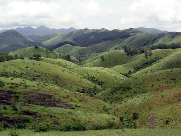
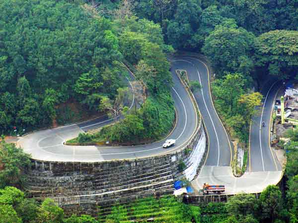
Vagamon is located on the western fringes of Idukki district, bordering with Kottayam district. Vagamon, a relatively remote area in a sparsely populated region comprising mostly of pristine, unspoilt and natural landscape of a diverse nature and rich in endemic flora and fauna, falls within the Western Ghats, and has been identified as a biodiversity 'hotspot'. This area, unique for grasslands and shola forests with laterite soil type, has an extent of 27.19 sq kms. The climate is equitable, ranging from 32 degrees celsius in summer to 16 degrees celsius in winter. With an average annual rainfall of about 376 cms, Vagamon gets rain for about 200 days an year. The closest town to Vagamon is Peerumedu, about 25 kms away. Vagamon is about 140 kms away from Munnar and 80 kms away from Thekkady - the two major tourist destinations of Kerala.
Location:
Latitude: 9' 34 N
Longitude: 76' 58 E View on google Earth
Thattekkad
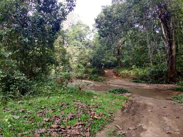
Thattekad is located 13 kms north-east of Kothamangalam in Ernakulam district along the Pooyamkutty road on the northern bank of the Periyar river. Thattekad is a rare abode of birds. Thattekkad Bird Sanctuary was constituted in 1983 and it is the one and only sanctuary of its kind in Kerala. This bird sanctuary is a feast to the eyes and music to the ears. Several kinds of birds usually found in the South India are seen here. The famous ornithologist, Dr.Salim Ali, was the architect of this sanctuary. Thettekkad attracts nature-lovers from far and wide. The terrian is undulating and elevation ranges between 35m and 523m. The tallest point is the Njayappilli peak(523m high). The forest types include tropical evergreen forests, tropical semi-evergreen forests, and tropical deciduous forests. There are patches of grasslands also.
Location:
Latitude: 9' 58 N
Longitude: 76' 34 E View on google Earth
Parambikulam
Parambikulam is a reservoir of tranquil greenery ensconced in a valley between the Annamalai ranges of Tamil Nadu and the Nelliampathy ranges of Kerala. Thickly forested with stands of bamboo, sandalwood, rosewood and teak, the sanctuary has some marshy land and scattered patches of grassland. Parambikulam was once home to some of south India's finest stands of teak. Little remains of the original teak forests, other than the famous Kannimari teak tree, the largest in Asia as most of these have now been replaced by teak plantations. The tree is about 5 km from Thunakadavu, and is one of Parambikulam's prime attractions. Parambikulam has one of the largest population of gaur (bison). It is also a home to elephants, sloth bears, wild boars, sambhars, chital tigers, panthers and crocodiles. There are also bonnet macaques, spectacled cobras, kraits, vipers, turtles, darters, little cormorants and black eagles.
Location:
Latitude: 10' 20 N
Longitude: 76' 35 E View on google Earth
Wynad
The unique geographical features of Wynad, expressed in rugged mist-covered mountains and pastoral valleys, lend this northern district of Kerala a peculiar charm and a delightful challenge for nature lovers. Established in 1973, the Wayanad Wildlife Sanctuary is contiguous to the protected area network of Nagarhole and Bandipur of Karnataka on the north-east and Mudimalai of Tamilnadu on the south-east. Rich in bio-diversity, the sanctuary is an integral part of the Nilgiri Biosphere Reserve, which has been established with the specific objective of conservating the biological heritage of the region. The topography is gently undulating with occasional hillocks, the highest peak is Karottimala (1158m). Most of the forests are of the south Indian moist deciduous type. There are, however, a few patches of west coast semi evergreen forests. About 110 sq.kms of the sanctuary is under plantations of teak, eucalyptus and grevelia.
Location:
Latitude: 11' 35 - 11' 58 N
Longitude: 76' 01 - 76' 28 E View on google Earth
Kuttanad
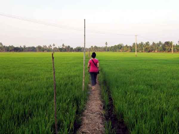
Kuttanad is rightly called the "Rice Bowl of Kerala", contributing nearly 20% of the total rice production of the state. It is a low lying area of costal Kerala formed by the confluence of 4 major river systems viz., Meenachil, Manimala, Pamba and Achancoil draining into the Vembanad Lake. Measuring approximately 25 km east west and 60 km north south on the west coast of Kerala, this area encompasses 79 revenue villages lying in 2 districts. Geologically, Kuttanad is an alluvial belt formed of tertiary and quaternary sediments. The geographical area of Kuttanad is 874 km2 in which 290 km2 are garden lands rising 1-2 m above mean sea level. The remaining area is 0.6-2.2 m below MSL. Based on the flood incidence, salinity intrusion and other climatologic parameters, Kuttanad is divided into 3 agroecological zones viz., Upper Kuttanad, Lower Kuttanad and Kayal Lands. The rice cultivating 53639 hectors is a warm, humid region with fairly uniform temperature throughout the year ranging from 21°C to 36°C. Humidity in general is very high all through the year. The average annual rainfall received is around 300 cm of which about 83% are received during monsoon months. Kuttanad is facing the serious threat of environmental pollution due to the increased and indiscriminate use of pesticides.
Location:
Latitude: 9' 17 - 9' 40 N
Longitude: 76' 19 - 76' 33 E View on google Earth
Munnar
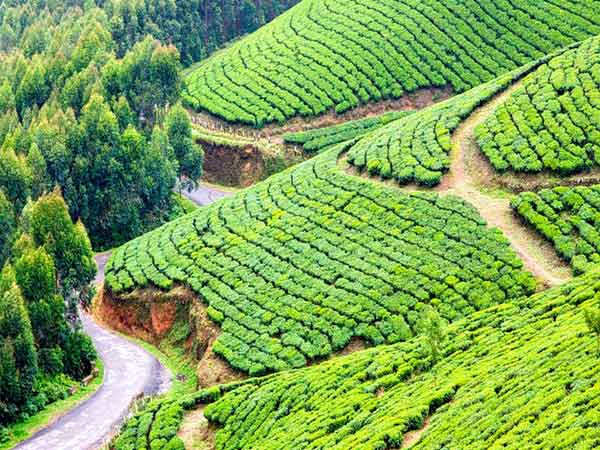
Munnar is a beautiful hill station on the Western Ghats at about 1600 metres above sea level. The town is situated at the confluence of the three mountain streams Mudrapuzha, Nallathanni and Kundala. There are lakes, reservoirs, forests and several tea estates. Anamudi, the highest peak in south India is close to this place. There is a wildlife sanctuary in the Eravikulam-Rajamala area in the Munnar forest division. Chinnar wild life sanctuary is very near to Eravikulam National park. Munnar was the summer resort of the British Government in the south. Munnar abounds in animals like elephants and Nilgiri Tahrs and rich biodiversity teeming with flora and fauna.
Location:
Latitude: 9' 50 - 10' 16 N
Longitude: 76' 39 - 77' 18 E View on google Earth
Mannavan shola
Mannavan Shola forms the largest Shola patch in Kerala with an approximate size of 14 Sq km. It is located in Idikki district falling within the Marayur Forest range of Munnar Division. The Shola forests are montane vegetations occupying the temperate regions in the tropical latitude. They are restricted to the valley regions and depressions or folds of hills and watercourses. Mannavan Shola is home to many endemic and threatened plants and birds. This shola was notified as a reserved forest through an order of the Government of the erstwhile Travancore State on October 22, 1901. Studies show that that 12 of the 16 endemic species of birds reported from the Western Ghats are in Mannavan Shola. A study by the Kerala Forest Research Institute (KFRI), highlighting the ecological significance of the area, describes it as one of the richest high-altitude shola vegetations in the country. The streams flowing from the Mannavan Shola are the only source of water for the entire rain-shadow region of Anchanad valley in Idukki district.
Location:
Latitude: 10' 5 N
Longitude: 77' 4 E View on google Earth